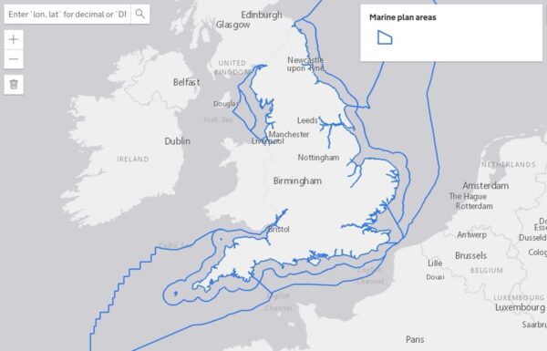
The MMO’s digital marine planning and mapping service – Explore Marine Plans – has recently been updated with new functionality and an improved user experience.
The new service enables users to find marine planning information for England, including data on marine licenses, environmental designations and policy information from regional marine plans.
A new way to check if there are any licence applications or developments in your area of England is through ‘Explore Marine Plans’. It now includes live information from the marine licensing public register. Just zoom in to the marine area you’re interested in and select “marine licence applications” from the map data menu. Click on any polygon showing a licence and you’ll find more details including a link to the Case Summary (on the MMO’s Marine Case Management System).
You can use Explore Marine Plans to:
– Look at spatial data relevant to the English marine area, including Marine Protected Areas (MPAs), offshore windfarms, and much more.
– Search for marine plan policies which are relevant to a specific area.
– See spatial data related to specific marine plan policies.
The service can be accessed here.
