The American space agency Nasa has launched a satellite that’s expected to transform our view of water on Earth.
The Swot mission will map the precise height of rivers, reservoirs and lakes, and track ocean surface features at unprecedented scales. It should improve flood and drought forecasts, and help researchers better understand how the climate is changing.
British scientists have been asked to help set up the spacecraft using the Bristol Channel as a benchmark.
The UK researchers are putting a suite of sensors in the estuary to “ground truth” the observations made by the satellite as it flies overhead at an altitude of 890km (550 miles).
Essentially, the satellite will be imaging water bodies, assessing their rise and fall in detail and across a very wide swath. Swot should be able to resolve all rivers at least 100m wide, and see all lakes larger than 6 hectares (15 acres).
“The amount of data from Swot on rivers and lakes will be orders of magnitude more than currently exists,” said Nasa project scientist Dr Lee-Lueng Fu.
“For instance, only tens of thousands of lakes have been well surveyed. We’ll be surveying millions of lakes.”
For the ocean, Swot will see the bulges and depressions in the water surface associated with currents and eddies as small as 20km (12 miles) across. It’s the swirling of water in eddies that pulls heat and carbon dioxide out of the atmosphere, tempering the impact of global warming.
The British involvement extends to the coming “calibration and validation” campaign in the Spring, which will check Swot is returning good information.
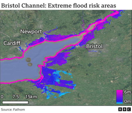
This will involve putting sensors in the Bristol Channel to make comparable observations as the spacecraft goes overhead. The estuary was chosen because it experiences sweeping variations in water height. It has one of the largest tidal ranges in the world.
“Swot’s going to give heights to within about 10cm. So, we’ve got to know the absolute elevation at ground level to a much higher accuracy,” said Bristol University’s Prof Paul Bates, who’ll lead the campaign.
“We’ve been going to tide gauges, placing GPS stations on them, and then thinking about things like temperature, pressure, salinity – all those kinds of potential variables. And we’ll end up with a network of very accurate water elevations around the estuary.”
Prof Bates thinks Swot should have the ability to see the famous bore that periodically runs up the channel into the lower reaches of the River Severn.
Further information from the BBC can be read here.