Photo by Hugh Whyte
Vast areas of the Caribbean’s deep waters are being mapped and studied for the first time as part of a UK-led science expedition that could uncover new species.
The Beyond the Reef expedition is part of the UK Government’s Blue Belt Programme, which supports UK Overseas Territories in the protection of over four million square kilometres of biodiverse ocean.
A team of 46 marine scientists are on board the scientific research vessel RRS James Cook, which set sail on 13 January for a six-week expedition.
Uncharted territory
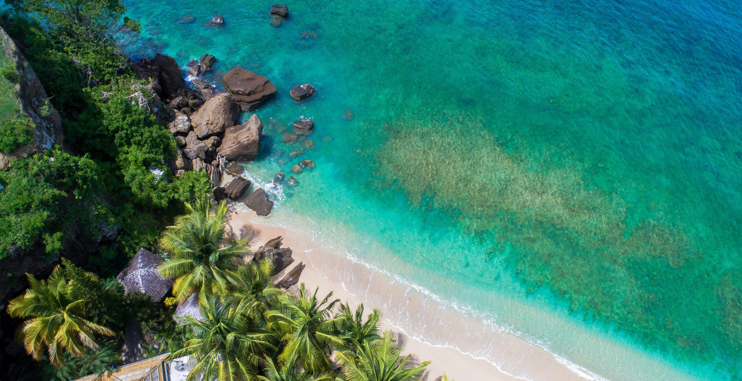
Departing from the Dominican Republic, the expedition will travel to Anguilla, Turks and Caicos and the Cayman Islands. Together, these Territories manage more than 365,000 square kilometres of ocean, an area one and a half times the size of the United Kingdom.
The governments of these territories have expertise managing coral reefs, mangroves and sea grass habitats around their islands, but difficulty accessing deeper offshore regions has meant the waters are largely uncharted and unstudied.
The survey will produce some of the very first detailed maps of more than 5,000 square kilometres of the region’s seabed, with exciting potential for discovering new species and ecosystems.
Research priorities
The expedition will generate high-resolution maps revealing large underwater features such as seamounts, ridges and banks. Seamounts can function as ecological hotspots, supporting high concentrations of commercially important fish and protected species including sharks.
Scientists will investigate the distribution and abundance of species like grouper, snapper and tunas, alongside current fishing practices. Very little is known about commercially important species in the area, so the research aims to inform sustainable management of economic waters.
The expedition will also assess water quality and ocean chemistry, investigating contaminants such as plastics, excess nutrients and heavy metals. Caribbean scientists will receive specialist laboratory training to strengthen long-term capacity for environmental monitoring.
This marks the first time in the Blue Belt Programme’s ten-year history that it has operated in the Caribbean, representing the programme’s tenth major expedition.