Shifting shores: Ulster University Researchers map 193 years of Northern Ireland coastline changes
A project examining the shifting shorelines of Northern Ireland over the last 193 years, has recently been completed by Ulster University, revealing for the first time, a detailed picture of coastal change. Using historical maps and aerial photographs, the team of researchers have painstakingly examined what changes have taken place from the historical times right up to present day.
The project, funded by DAERA (Department of Agriculture, Environment and Rural Affairs), has taken over a year to complete and represents some of the most detailed analysis possible for examining historical changes on coastlines. Utilising the first (circa 1830) detailed Ordnance Survey maps of Northern Ireland’s coast and intervening mapping surveys, vertical aerial photographs (from the 1950’s to present day) as well as a recent coastal topographic LiDAR (Light Detection and Ranging) survey undertaken by DAERA, each 25-metre section of the Northern Ireland coastline was investigated for positional changes.
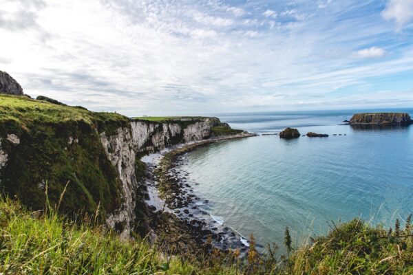
(Photo: Thomas Kelley)
Co-Investigator on the project, Professor Andrew Cooper said “The largest shoreline advancements recorded in the last two centuries along the Northern Ireland coastline were all induced by human modifications such as extensive land reclamation in sea loughs (mainly during the 19th century), construction or expansions of ports and harbours, power stations, wastewater treatment areas or touristic facilities.”
Through the Northern Ireland Coastal Forum and the associated working group, DAERA has been addressing the shortfall of scientifically robust data on how the coastline is changing. This much needed evidence will be used to identify the areas most vulnerable to coastal change and will provide reliable scientific evidence which will inform decision-making, as well as the development of plans and policies required for sustainable coastal management.
DAERA is working closely with ESRI Ireland to make all this data publicly available via the Northern Ireland Coastal Observatory. Within the Observatory all data collected by DAERA for the coast can be viewed and accessed for use.