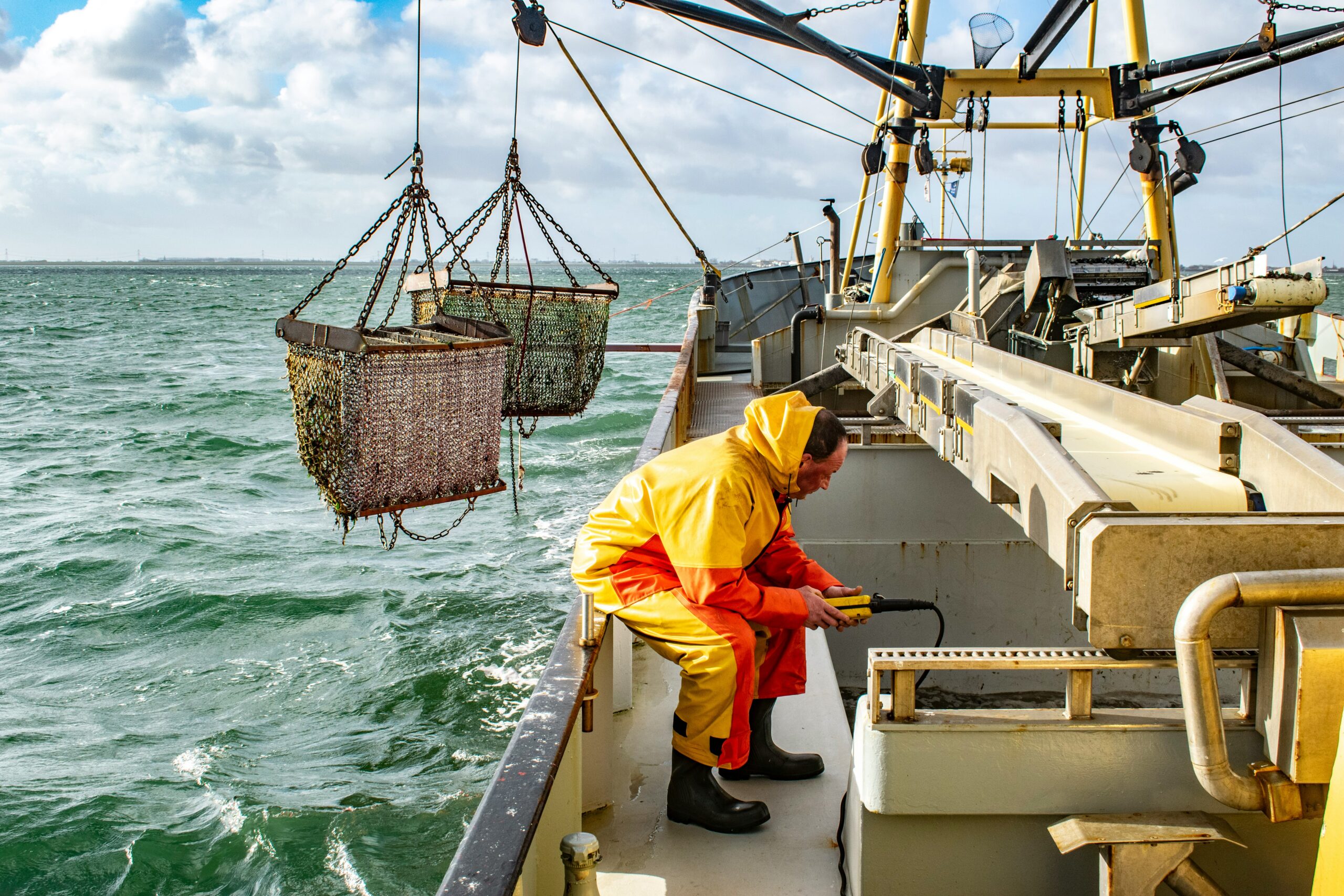
Photo by Paul Einerhand
The Marine Management Organisation (MMO) has confirmed it will publish a new dataset linking UK fishing landings to the exact locations where they were caught, in a pre-announcement covering the 2024 data year. The dataset, named the Landings Enriched Approach for Positional FISHeries data, or LEAPFISH, is provisionally due for release on 27th August 2026, with any changes to the schedule to be confirmed via the MMO’s official statistics release calendar.
Joining up two existing datasets
LEAPFISH works by combining two data sources that have until now been held separately: satellite-based Vessel Monitoring System (VMS) records, which track where a vessel has been, and landings data recording what was caught and brought ashore. By linking the two, the MMO said the new dataset will allow landings to be connected to fishing activity at a far finer spatial scale than is currently possible, giving a clearer picture of where fishing is taking place around the UK and what is being caught there. Landings data for 2024 are already published through the UK sea fisheries annual statistics report; LEAPFISH adds the missing spatial dimension to that existing picture, a point also picked up by The Fishing Daily in its coverage of the announcement.
Coverage and limitations
The initial release will cover UK fishing vessels of 12 metres and over, with activity data for the full 2024 calendar year. It will not include data from inshore vessel monitoring systems (i-VMS), meaning the under-12 metre fleet currently transitioning to the new Nemo I-VMS devices will fall outside the first publication. All figures will be aggregated before release to prevent the disclosure of sensitive or individually identifiable information, and the MMO has said the time series will be expanded and backdated in future releases as the dataset matures.
An evolving evidence base
LEAPFISH will be published as an Official Statistic in Development, a designation used where methods, processes and data sources are still being refined. The MMO says publishing at this early stage is intended to give stakeholders early sight of the data while inviting feedback to improve its quality and usability ahead of future releases. The announcement has had reach beyond the UK trade press, too: it was covered by Streamline, a Kenya-based outlet that framed the approach as a possible model for other coastal states grappling with similar gaps between landings data and where fish are actually caught. For fisheries managers and conservation groups working on spatial protections, from MPA enforcement to closures around sensitive spawning grounds, a verified, finer-grained picture of where catches are coming from could prove a useful addition to the evidence base, even in this developmental form.