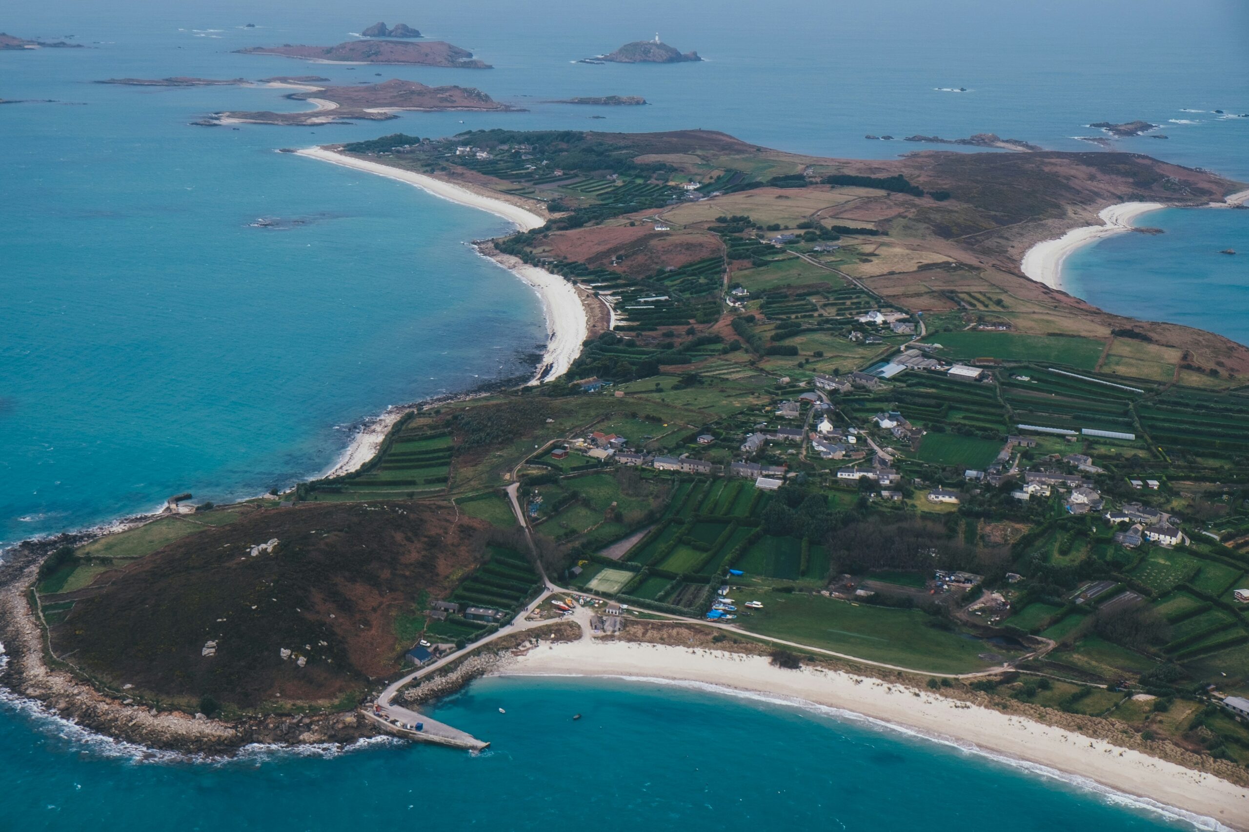
Photo by Annie Spratt
Scientists have carried out an unprecedented assessment of the seabed around the Isles of Scilly, revealing complex mosaics of sediments that support a wide range of habitat-building species. The research, led by the University of Plymouth, suggests that the frameworks used to classify and protect sediment habitats around the UK may be based on “shifted baselines”. In other words, they may describe how the seabed looks after decades of human activity rather than how a healthy seabed should look.
A window on a recovering seabed
Working with local fishers and conservation managers, the team carried out towed and baited video surveys at 10 locations outside any existing marine protected areas (MPAs). The surveys uncovered a range of sediment habitats, from sandy bedforms to boulders and cobbles over sand, at depths of up to 90 metres. These habitats support more than 90 species of seabed animals, including corals, sponges, worms, sharks, rays and starfish.
According to the paper, published in the Journal of Applied Ecology, the surveys ran from May 2023 to May 2025. They found juvenile sharks, skates and rays using the sediment habitats, alongside fragile, upright, structure-building species such as sponges and corals. These species provide refuge for other wildlife and create nursery and feeding areas for species of commercial and conservation importance. However, their presence also makes the habitats more vulnerable to disturbance from bottom-towed fishing gear.
Lead author Rebecca Turley, a PhD researcher at the university’s Centre for Marine Biology and Conservation Science (CMACS), explained why the islands offered such a rare opportunity. “Many of the sediment habitats around the Isles of Scilly have not been trawled or dredged for over a decade. So, it provides a really good example of what a recovering seabed can look like,” she said. “Our study has filled significant gaps in knowledge about the diverse species that can thrive in sediment habitats unimpacted by bottom-towed fishing gear for more than 10 years. However, where shifting baselines affect habitat classifications, they will need updating to ensure that marine habitats are appropriately protected in the future.”
Classifications falling short
The researchers found that the diversity they recorded is not fully captured by the European Nature Information System (EUNIS). EUNIS is the standard framework for describing marine habitats and the species that live in them, and it informs decisions on managing human activities in the marine environment. The paper warns that the gap could also affect the sensitivity assessments often used in MPA management.
Professor Emma Sheehan, who leads the research team and whose work has influenced the designation and management of MPAs around the UK, said the findings had direct implications for policy. “The new understanding of sediment habitats confirms that current marine management policies, such as EUNIS classifications, reflect shifted baselines,” she said. “For MPAs to be effective tools for marine conservation, we need to address any uncertainties in existing habitat classifications and sensitivity assessments, amend marine habitat condition targets and update spatial measures in conservation planning.”
Three recommendations
The team makes three recommendations for the Isles of Scilly and other UK locations. The first is that marine management should move away from relying on rigid EUNIS classifications, with classifications and sensitivity assessments reviewed to reflect new evidence. The second is that robust monitoring, although costly and time-consuming, should be put in place to establish ecological baselines and track recovery. The third is that MPAs should be managed on the basis of all the habitats and species found across a whole site, rather than individual protected features.
“Through our recommendations, we could move closer to an ecosystem approach that properly enhances the recovery and conservation of both habitats and species,” Sheehan added.