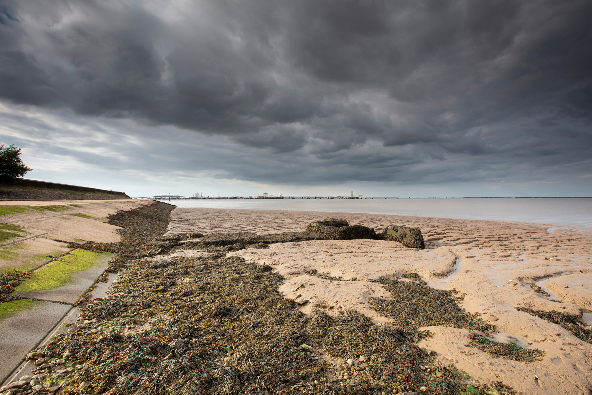
Photo Credit: AdobeStock
At least half a million more people in the UK will be exposed to coastal flooding risk by 2100, a 25 per cent increase on today, according to the first study to quantify the scale of the UK population at risk under long-term sea-level rise. The research, led by the Met Office and the University of Bristol with Bristol-based flood modeller Fathom and published in Nature Communications, extends its projections to 2300, well beyond the end-of-century horizon that usually shapes UK planning, and finds that the pace of global emissions cuts over the coming decades will shape the outcome for centuries.
What the modelling shows
The team combined UK-tailored sea-level projections, drawn from the Intergovernmental Panel on Climate Change, with Fathom’s high-resolution UK flood model, testing exposure to a one-in-200-year storm surge, the design threshold for major urban flood defences. Rather than settle on a single forecast, the study runs a set of scenarios, or “storylines”, spanning strong emissions cuts, current pledges and a low-likelihood high-impact case. Sea levels around the UK are projected to rise by between 0.4 and 0.6 metres by 2100 under the scenarios, and by 1.2 to 1.8 metres by 2300 if current emissions pledges are met. On that middle path, the area at risk from the storm surge grows by more than half by 2300, exposing an additional 1.7 million people. Lead author Matt Palmer, of the Bristol Cabot Institute and the Met Office, described sea-level rise as the “sleeping giant” of climate change, its response locked in for centuries by the slow reaction of the oceans and ice sheets.
The case for cutting emissions
The central finding is that emissions choices materially change the outcome. Meeting the Paris Agreement’s targets through swift global action would hold the increase in exposure by 2300 to around 28 per cent, rather than 56 per cent, avoiding up to a million people being added to the at-risk population compared with the current-pledges path. Co-author Jeffrey Neal, professor of hydrology at Bristol and chief scientific advisor at Fathom, said the worst outcomes would pose enormous challenges and could force the large-scale movement of communities inland, but that concerted global action could still avoid them. The Wash and the Humber estuary emerge as persistent hotspots across every scenario.
The reasonable worst case
The study also models a low-likelihood scenario in which Antarctic ice sheet instability is triggered, driving relative sea-level rise of more than 16 metres across the UK by 2300. Under that storyline alone, the flood area from the storm surge expands by over 300 per cent, and more than a fifth of the populations of England, Scotland and Wales would be exposed. Even on the current-pledges path, the researchers found the share of flood defences facing severe overtopping rises from under 1 per cent in 2100 to 35 per cent by 2300, pointing to a sustained need for long-term investment and, in the most severe cases, planned managed retreat from the most vulnerable coastlines. The authors argue that assessing coastal hazard on a 100-year horizon alone understates the true risk, since sea-level rise accelerates sharply after 2100 under higher-emissions pathways.
Sources: